 Geoportale Piemonte
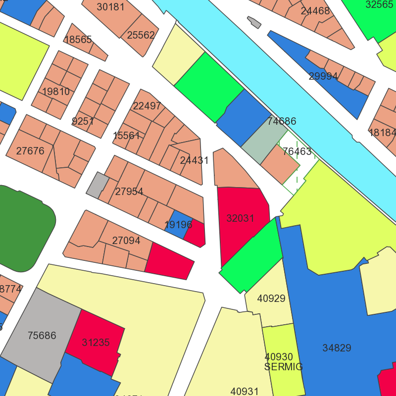
Unita' insediative
Il dataset contiene gli elementi areali urbanizzati/antropizzati dell'intero territorio comunale, che hanno una destinazione d'uso coerente al loro interno e che afferiscono a una data proprieta'
Simple
- Date (Revision)
- 2025-12-31
- Date (Creation)
- 2023-09-30
- Identifier
- c_l219:44723bac-34a1-41ce-af72-760a404bf22f
- Presentation form
- mapDigital Digital map
- Issue identification
-
c_l219:44723bac-34a1-41ce-af72-760a404bf22f
- Maintenance and update frequency
- quarterly Quarterly
- Keywords
-
-
RNDT
-
- Keywords
-
-
EU
-
- Keywords
-
-
carta tecnica
-
aree
-
-
GEMET- Concepts version 2.4
-
-
uso del territorio
-
- Keywords
-
-
uso
-
- Keywords
-
-
destinazione
-
- Access constraints
- otherRestrictions Other restrictions
- Other constraints
- no limitations to public access
- Use constraints
- otherRestrictions Other restrictions
- Other constraints
- Spatial representation type
- vector Vector
- Denominator
- 1000
- Metadata language
- itaItaliano
- Character set
- utf8 UTF8
- Topic category
-
- Imagery base maps earth cover
N
S
E
W
))
Vertical extent
- Minimum value
- NaN
- Maximum value
- NaN
- Unique resource identifier
- Monte-Mario-Italy1
- Distribution format
-
-
ESRI Shapefile
(
1.0
)
-
ESRI Shapefile
(
1.0
)
- OnLine resource
- WMS ( Web Map Service (WMS) )
- Hierarchy level
- dataset Dataset
Quantitative result
- Value
- 0.4
Conformance result
- Date (Publication)
- 2010-12-08
- Explanation
-
Fare riferimento alle specifiche indicate
- Statement
-
Impianto realizzato dal Comune di Torino, aggiornamenti e gestione effettuati dal CSI Piemonte.
- File identifier
- c_l219:44723bac-34a1-41ce-af72-760a404bf22f XML
- Metadata language
- itaItaliano
- Character set
- utf8 UTF8
- Hierarchy level
- dataset Dataset
- Date stamp
- 2026-01-15
- Metadata standard name
- Linee Guida RNDT
- Metadata standard version
-
2.0
Overviews

thumbnail
large_thumbnail
Spatial extent
N
S
E
W
Provided by

Associated resources
Not available