 Geoportale Piemonte
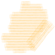
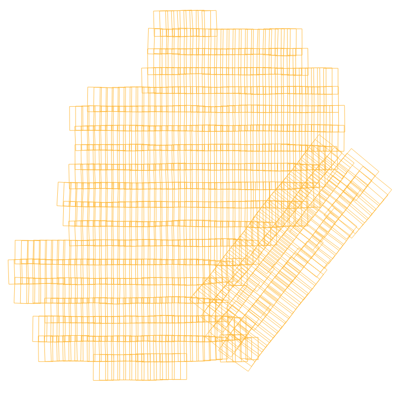
Dati di base - Volo aereo 2007
Il dataset contiene i livelli che rappresentano le strisciate contenenti le immagini del volo aereo.
Simple
- Date (Revision)
- 2007-01-01
- Date (Creation)
- 2007-01-01
- Identifier
- c_l219:959f8363-2b36-4355-a806-66f8a8df5ae2
- Presentation form
- mapDigital Digital map
- Issue identification
-
c_l219:959f8363-2b36-4355-a806-66f8a8df5ae2
- Maintenance and update frequency
- asNeeded As needed
- Keywords
-
-
RNDT
-
- Keywords
-
-
EU
-
- Keywords
-
-
volo aereo
-
dati
-
cartografiadibase
-
base
-
- Access constraints
- otherRestrictions Other restrictions
- Other constraints
- no limitations to public access
- Use constraints
- otherRestrictions Other restrictions
- Other constraints
- Spatial representation type
- vector Vector
- Denominator
- 1000
- Metadata language
- itaItaliano
- Character set
- utf8 UTF8
- Topic category
-
- Imagery base maps earth cover
N
S
E
W
))
Vertical extent
- Minimum value
- NaN
- Maximum value
- NaN
- Unique resource identifier
- Monte-Mario-Italy1
- Distribution format
-
-
ESRI Shapefile
(
1.0
)
-
ESRI Shapefile
(
1.0
)
- OnLine resource
- accesso riservato ( WWW:DOWNLOAD-1.0-http--download )
- Hierarchy level
- dataset Dataset
Quantitative result
- Value
- 0.4
Conformance result
- Date (Publication)
- 2010-12-08
- Explanation
-
Fare riferimento alle specifiche indicate
- Statement
-
non presente
- File identifier
- c_l219:959f8363-2b36-4355-a806-66f8a8df5ae2 XML
- Metadata language
- itaItaliano
- Character set
- utf8 UTF8
- Hierarchy level
- dataset Dataset
- Date stamp
- 2023-11-06
- Metadata standard name
- Linee Guida RNDT
- Metadata standard version
-
2.0
Overviews
thumbnail
large_thumbnail
Spatial extent
N
S
E
W
Provided by

Associated resources
Not available