Rete piezometrica - Geo-servizio WMS
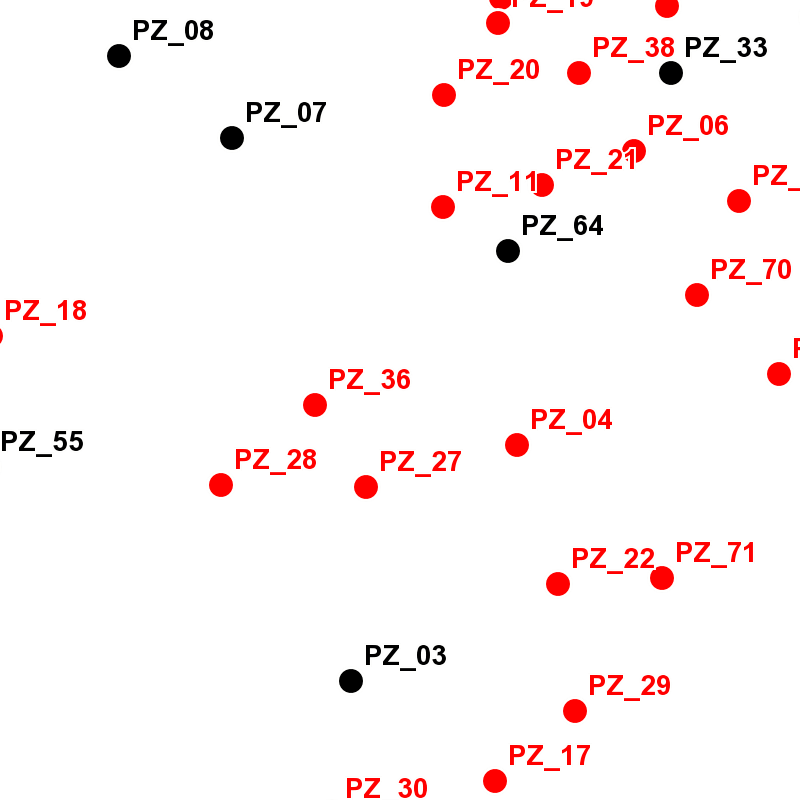
Il Web Map Service permette di visualizzare le informazioni puntuali, georiferite sul territorio comunale, relative ai piezometri, gestite dal settore competente.
Si rimanda alla consultazione dei dati collegati per la data di aggiornamento e descrizione dei contenuti.
Simple
Identification info
- Date (Revision)
- 2024-01-15
- Date (Creation)
- 2023-10-31
- Identifier
- c_l219:820d8639-eeca-40ae-a062-22fca1fe889a
pointOfContact
Comune di Torino, Servizio Qualità e Valutazioni Ambientali
http://www.comune.torino.it/ambiente
- Keywords
-
-
RNDT
-
- Keywords
-
-
EU
-
- GEMET - Concepts, version 2.4
-
-
piezometria
-
-
ISO - 19119 geographic services taxonomy
-
GEMET- Concepts version 2.4
-
-
idrogeologia
-
- Keywords
-
-
open data
-
- Keywords
-
-
acque sotterranee
-
- Keywords
-
-
soggiacenza
-
- Keywords
-
-
EU
-
- Access constraints
- otherRestrictions Other restrictions
- Other constraints
- no limitations to public access
- Use constraints
- otherRestrictions Other restrictions
- Other constraints
- Service Type
- view
N
S
E
W
))
Coupled Resource
- Operation Name
-
GetCapabilities
- Identifier
-
c_l219:4b44b858-6515-41d1-a4a8-262cd6169bb3
- Coupling Type
- mixed Mixed
Contains Operations
- Operation Name
-
GetMap
- Distributed Computing Platforms
- WebServices Web services
- Operates On
- Distribution format
-
-
OGC:WMS
(
1.3
)
-
OGC:WMS
(
1.3
)
- OnLine resource
- accessPoint ( Web Map Service (WMS) )
- Hierarchy level
- service Service
- Other
-
Servizio
Conformance result
- Date (Publication)
- 2009-10-19
- Explanation
-
non conforme
- Pass
- No
Conformance result
- Date (Publication)
- 2010-12-08
- Explanation
-
Fare riferimento alle specifiche indicate
- File identifier
- c_l219:820d8639-eeca-40ae-a062-22fca1fe889a XML
- Metadata language
- itaItaliano
- Character set
- utf8 UTF8
- Hierarchy level
- service Service
- Hierarchy level name
-
Servizio
- Date stamp
- 2024-01-15
- Metadata standard name
- Linee Guida RNDT
- Metadata standard version
-
2.0
Overviews

thumbnail

large_thumbnail
Spatial extent
N
S
E
W
))
Provided by

Associated resources
Not available
 Geoportale Piemonte