 Geoportale Piemonte
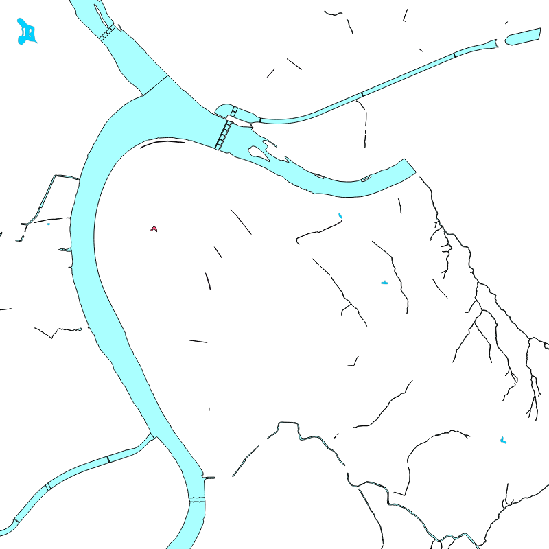
Dati di base - Carta Tecnica - Idrografia
Lo strato "Idrografia" raccoglie i temi inerenti la descrizione dei corpi idrici.
Simple
- Date (Revision)
- 2026-03-31
- Date (Creation)
- 2017-10-01
- Identifier
- c_l219:5282038a-7893-40ff-b6d7-214ef4cc2f11
- Presentation form
- mapDigital Digital map
- Issue identification
-
c_l219:5282038a-7893-40ff-b6d7-214ef4cc2f11
- Maintenance and update frequency
- quarterly Quarterly
- Keywords
-
-
RNDT
-
- Keywords
-
-
EU
-
- Keywords
-
-
base
-
tecnica
-
aree
-
- GEMET - Concepts, version 2.4
-
-
idrografia
-
carta
-
- Access constraints
- otherRestrictions Other restrictions
- Other constraints
- no limitations to public access
- Use constraints
- otherRestrictions Other restrictions
- Other constraints
- Spatial representation type
- vector Vector
- Denominator
- 1000
- Metadata language
- itaItaliano
- Character set
- utf8 UTF8
- Topic category
-
- Imagery base maps earth cover
N
S
E
W
))
Vertical extent
- Minimum value
- NaN
- Maximum value
- NaN
- Unique resource identifier
- Monte-Mario-Italy1
- Distribution format
-
-
ESRI Shapefile
(
1.0
)
-
ESRI Shapefile
(
1.0
)
- OnLine resource
- Scheda Idrografia ( WWW:LINK-1.0-http--link )
- Hierarchy level
- dataset Dataset
Quantitative result
- Value
- 0.4
Conformance result
- Date (Publication)
- 2010-12-08
- Explanation
-
Fare riferimento alle specifiche indicate
- Statement
-
non presente
- File identifier
- c_l219:5282038a-7893-40ff-b6d7-214ef4cc2f11 XML
- Metadata language
- itaItaliano
- Character set
- utf8 UTF8
- Hierarchy level
- dataset Dataset
- Date stamp
- 2026-04-16
- Metadata standard name
- Linee Guida RNDT
- Metadata standard version
-
2.0
Overviews

thumbnail
large_thumbnail
Spatial extent
N
S
E
W
Provided by

Associated resources
Not available