 Geoportale Piemonte
Dati di base B/N - Geo-servizio WMS
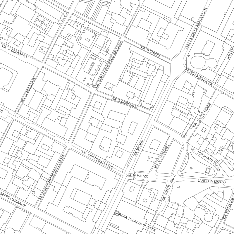
Il Web Map Service per la consultazione dei livelli principali della Carta Tecnica in bianco e nero, Carta di sintesi in bianco e nero e Grafo stradale permette di visualizzare gli elementi di base dell'intero territorio comunale e di consultare le informazioni associate agli elementi stessi.
Si rimanda alla consultazione dei dati collegati per la data di aggiornamento dei contenuti.
Simple
Identification info
- Date (Revision)
- 2011-05-01
- Date (Creation)
- 2011-05-01
- Identifier
- c_l219:63138e73-26d0-40c6-aee9-4d99d94ae0c1
- Keywords
-
-
RNDT
-
- Keywords
-
-
EU
-
- Keywords
-
-
dati
-
aree
-
carta tecnica
-
base
-
- GEMET - Concepts, version 2.4
-
-
n
-
b
-
carta
-
-
ISO - 19119 geographic services taxonomy
- Access constraints
- otherRestrictions Other restrictions
- Other constraints
- no limitations to public access
- Use constraints
- otherRestrictions Other restrictions
- Other constraints
- Service Type
- view
N
S
E
W
))
- Coupling Type
- mixed Mixed
Contains Operations
- Operation Name
-
GetMap
- Distributed Computing Platforms
- WebServices Web services
- Distribution format
-
-
OGC:WMS
(
1.3
)
-
OGC:WMS
(
1.3
)
- OnLine resource
- accessPoint ( Web Map Service (WMS) )
- Hierarchy level
- service Service
- Other
-
Servizio
Conformance result
- Date (Publication)
- 2009-10-19
- Explanation
-
non conforme
- Pass
- No
Conformance result
- Date (Publication)
- 2010-12-08
- Explanation
-
Fare riferimento alle specifiche indicate
- File identifier
- c_l219:63138e73-26d0-40c6-aee9-4d99d94ae0c1 XML
- Metadata language
- itaItaliano
- Character set
- utf8 UTF8
- Hierarchy level
- service Service
- Hierarchy level name
-
Servizio
- Date stamp
- 2023-04-28
- Metadata standard name
- Linee Guida RNDT
- Metadata standard version
-
2.0
Overviews
thumbnail
large_thumbnail
Spatial extent
N
S
E
W
Provided by

Associated resources
Not available