 Geoportale Piemonte
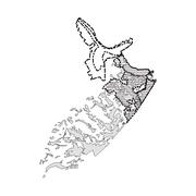
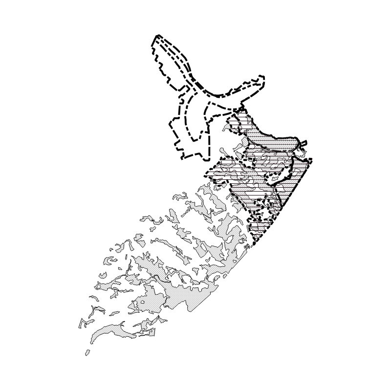
Urbanistica - PRG Altre prescrizioni - Boschi e vincolo idrogeologico. Parchi regionali
Il dataset contiene i layer che rappresentano i boschi, il vincolo idrogeologico e i parchi regionali sul territorio.
Simple
- Date (Revision)
- 1995-04-21
- Date (Creation)
- 1995-04-21
- Identifier
- c_l219:93061839-e81d-42a1-9f6d-1d9983ec44e9
- Presentation form
- mapDigital Digital map
- Issue identification
-
c_l219:93061839-e81d-42a1-9f6d-1d9983ec44e9
- Maintenance and update frequency
- asNeeded As needed
- Keywords
-
-
RNDT
-
- Keywords
-
-
EU
-
- Keywords
-
-
prg
-
prescrizioni
-
piani
-
parchi
-
boschi
-
- Keywords
-
-
vincolo idrogeologico
-
- Keywords
-
-
vincolo
-
- GEMET - Concepts, version 2.4
-
-
urbanistica
-
- Access constraints
- otherRestrictions Other restrictions
- Other constraints
- no limitations to public access
- Use constraints
- otherRestrictions Other restrictions
- Other constraints
- Spatial representation type
- vector Vector
- Denominator
- 1000
- Metadata language
- itaItaliano
- Character set
- utf8 UTF8
- Topic category
-
- Planning cadastre
N
S
E
W
))
Vertical extent
- Minimum value
- NaN
- Maximum value
- NaN
- Unique resource identifier
- Monte-Mario-Italy1
- Distribution format
-
-
ESRI Shapefile
(
1.0
)
-
ESRI Shapefile
(
1.0
)
- OnLine resource
- accesso riservato ( WWW:DOWNLOAD-1.0-http--download )
- Hierarchy level
- dataset Dataset
Quantitative result
- Value
- 0.4
Conformance result
- Date (Publication)
- 2010-12-08
- Explanation
-
Fare riferimento alle specifiche indicate
- Statement
-
non presente
- File identifier
- c_l219:93061839-e81d-42a1-9f6d-1d9983ec44e9 XML
- Metadata language
- itaItaliano
- Character set
- utf8 UTF8
- Hierarchy level
- dataset Dataset
- Date stamp
- 2023-11-06
- Metadata standard name
- Linee Guida RNDT
- Metadata standard version
-
2.0
Overviews
thumbnail
large_thumbnail
Spatial extent
N
S
E
W
Provided by

Associated resources
Not available