 Geoportale Piemonte
Dati di base - Carta di sintesi - Numerazione civica
Il dataset contiene i livelli di cartografia derivata dalla Carta Tecnica della Citta' di Torino. La numerazione civica viene rappresentata in forma semplificata con un numero civico per ciascun isolato.
Simple
- Date (Revision)
- 2025-09-30
- Date (Creation)
- 2015-06-01
- Identifier
- c_l219:c34b7960-edeb-4c9d-a4df-0797f08c65de
- Presentation form
- mapDigital Digital map
- Issue identification
-
c_l219:c34b7960-edeb-4c9d-a4df-0797f08c65de
- Maintenance and update frequency
- annually Annually
- Keywords
-
-
RNDT
-
- Keywords
-
-
EU
-
- Keywords
-
-
limiti
-
indirizzi
-
base
-
- Access constraints
- otherRestrictions Other restrictions
- Other constraints
- no limitations to public access
- Use constraints
- otherRestrictions Other restrictions
- Other constraints
- Spatial representation type
- vector Vector
- Denominator
- 1000
- Metadata language
- itaItaliano
- Character set
- utf8 UTF8
- Topic category
-
- Planning cadastre
N
S
E
W
))
Vertical extent
- Minimum value
- NaN
- Maximum value
- NaN
- Unique resource identifier
- Monte-Mario-Italy1
- Distribution format
-
-
ESRI Shapefile
(
N.A.
)
-
DWG
(
N.A.
)
-
ESRI Shapefile
(
N.A.
)
- OnLine resource
- accessPoint ( WWW:DOWNLOAD-1.0-http--download )
- OnLine resource
- accessPoint ( WWW:DOWNLOAD-1.0-http--download )
- Hierarchy level
- dataset Dataset
Quantitative result
- Value
- 0.4
Conformance result
- Date (Publication)
- 2010-12-08
- Explanation
-
Fare riferimento alle specifiche indicate
- Statement
-
I livelli di cartografia derivata sono rappresentabili in scala 1:10000 e sono ottenuti per derivazione dalla Carta Tecnica della Citta' di Torino in scala 1:1000. I cassoni degli isolati sono semplificati e le sedi stradali sono deformate per ospitare la toponomastica.
- File identifier
- c_l219:c34b7960-edeb-4c9d-a4df-0797f08c65de XML
- Metadata language
- itaItaliano
- Character set
- utf8 UTF8
- Hierarchy level
- dataset Dataset
- Date stamp
- 2025-10-23
- Metadata standard name
- Linee Guida RNDT
- Metadata standard version
-
2.0
Overviews
thumbnail
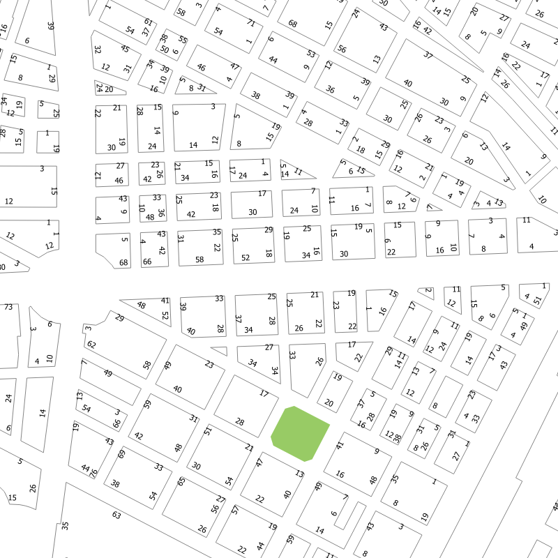
large_thumbnail
Spatial extent
N
S
E
W
Provided by

Associated resources
Not available