 Geoportale Piemonte
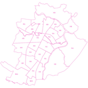
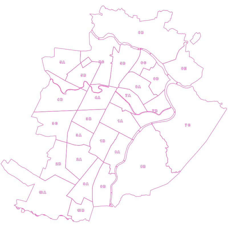
Azzonamenti Sanitari - Distretti assistenziali
Il dataset contiene i segmenti che rappresentano i limiti dei distretti assistenziali, le nuove realtà della Sanità di territorio.
Simple
- Date (Revision)
- 2011-01-01
- Date (Creation)
- 2011-01-01
- Identifier
- c_l219:f1f42f0d-6d5d-47a2-85b2-0d8618362c89
- Presentation form
- mapDigital Digital map
- Issue identification
-
c_l219:f1f42f0d-6d5d-47a2-85b2-0d8618362c89
- Maintenance and update frequency
- asNeeded As needed
- Keywords
-
-
RNDT
-
- Keywords
-
-
EU
-
- Keywords
-
-
limiti
-
- GEMET - Concepts, version 2.4
-
-
servizi
-
- Access constraints
- otherRestrictions Other restrictions
- Other constraints
- no limitations to public access
- Use constraints
- otherRestrictions Other restrictions
- Other constraints
- Spatial representation type
- vector Vector
- Denominator
- 1000
- Metadata language
- itaItaliano
- Character set
- utf8 UTF8
- Topic category
-
- Boundaries
N
S
E
W
))
Vertical extent
- Minimum value
- NaN
- Maximum value
- NaN
- Unique resource identifier
- Monte-Mario-Italy1
- Distribution format
-
-
ESRI Shapefile
(
N.A.
)
-
CSV
(
N.A.
)
-
ESRI Shapefile
(
N.A.
)
- OnLine resource
- accessPoint ( Web Feature Service (WFS) )
- OnLine resource
- DistrAss ( Web Map Service (WMS) )
- OnLine resource
- accessPoint ( WWW:DOWNLOAD-1.0-http--download )
- OnLine resource
- accessPoint ( WWW:DOWNLOAD-1.0-http--download )
- Hierarchy level
- dataset Dataset
Quantitative result
- Value
- 0.4
Conformance result
- Date (Publication)
- 2010-12-08
- Explanation
-
Fare riferimento alle specifiche indicate
- Statement
-
non presente
- File identifier
- c_l219:f1f42f0d-6d5d-47a2-85b2-0d8618362c89 XML
- Metadata language
- itaItaliano
- Character set
- utf8 UTF8
- Hierarchy level
- dataset Dataset
- Date stamp
- 2021-02-17
- Metadata standard name
- Linee Guida RNDT
- Metadata standard version
-
2.0
Overviews
thumbnail
large_thumbnail
Spatial extent
N
S
E
W
Provided by

Associated resources
Not available