 Geoportale Piemonte
Cartografia in scarico - PRG - fogli 1:5000
Il dataset contiene la suddivisione in fogli della cartografia del PRG distribuita presenti sul territorio comunale. Le informazioni contengono la url dei pdf delle tavole e dei vari allegati.
Simple
- Date (Revision)
- 1995-04-21
- Date (Creation)
- 1995-04-21
- Identifier
- c_l219:8e83ba74-baae-49bb-93c5-b617ada55bc8
- Presentation form
- mapDigital Digital map
- Issue identification
-
c_l219:8e83ba74-baae-49bb-93c5-b617ada55bc8
- Maintenance and update frequency
- asNeeded As needed
- Keywords
-
-
RNDT
-
- Keywords
-
-
EU
-
- Keywords
-
-
taglio
-
scarico
-
prg
-
limiti
-
fogli
-
- GEMET - Concepts, version 2.4
-
-
cartografia
-
- Access constraints
- otherRestrictions Other restrictions
- Other constraints
- no limitations to public access
- Use constraints
- otherRestrictions Other restrictions
- Other constraints
- Spatial representation type
- vector Vector
- Denominator
- 1000
- Metadata language
- itaItaliano
- Character set
- utf8 UTF8
- Topic category
-
- Imagery base maps earth cover
N
S
E
W
))
Vertical extent
- Minimum value
- NaN
- Maximum value
- NaN
- Unique resource identifier
- Monte-Mario-Italy1
- Distribution format
-
-
CSV
(
N.A.
)
-
ESRI Shapefile
(
N.A.
)
-
CSV
(
N.A.
)
- OnLine resource
- FogliPRG ( Web Map Service (WMS) )
- OnLine resource
- accessPoint ( WWW:DOWNLOAD-1.0-http--download )
- OnLine resource
- accessPoint ( WWW:DOWNLOAD-1.0-http--download )
- Hierarchy level
- dataset Dataset
Quantitative result
- Value
- 0.4
Conformance result
- Date (Publication)
- 2010-12-08
- Explanation
-
Fare riferimento alle specifiche indicate
- Statement
-
La Città di Torino si è dotata a partire dal 1995 del nuovo Piano Regolatore Comunale.
- File identifier
- c_l219:8e83ba74-baae-49bb-93c5-b617ada55bc8 XML
- Metadata language
- itaItaliano
- Character set
- utf8 UTF8
- Hierarchy level
- dataset Dataset
- Date stamp
- 2019-12-17
- Metadata standard name
- Linee Guida RNDT
- Metadata standard version
-
2.0
Overviews
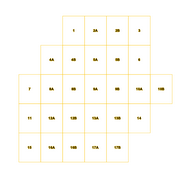
thumbnail
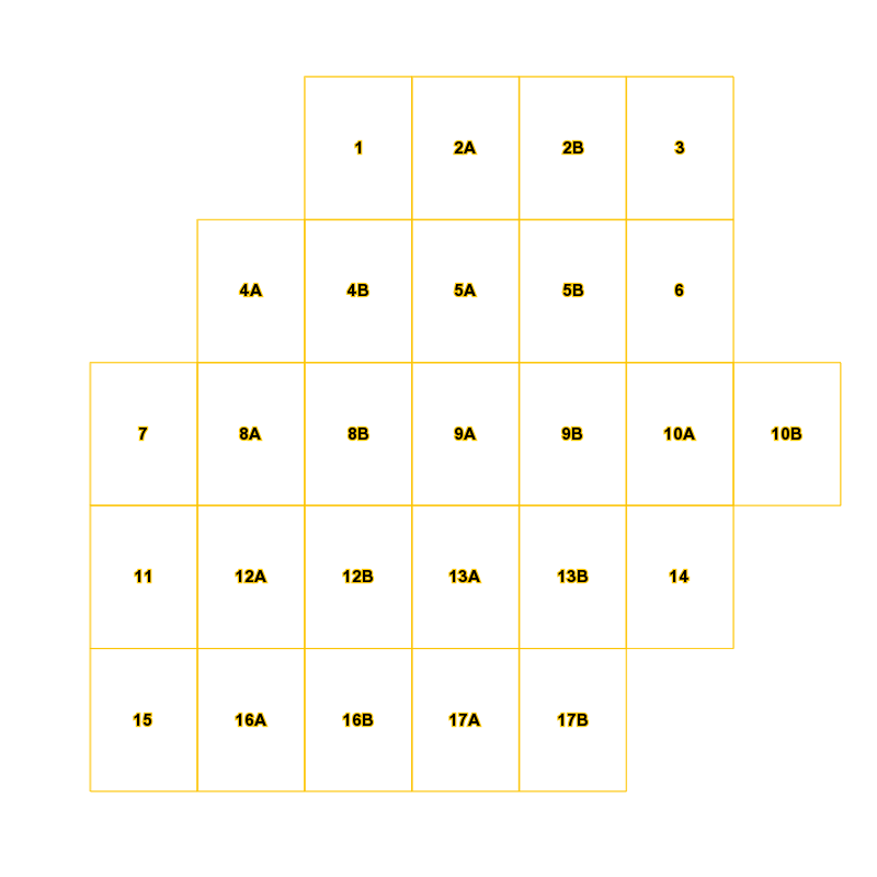
large_thumbnail
Spatial extent
N
S
E
W
Provided by

Associated resources
Not available