 Geoportale Piemonte
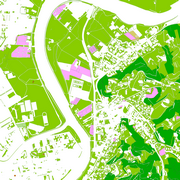
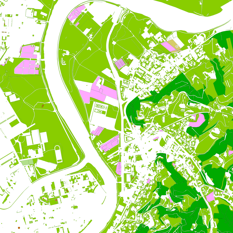
Dati di base - Carta Tecnica - Vegetazione
Lo strato della vegetazione definisce classi di entita' di natura vegetale raggruppati secondo la seguente classificazione:
- aree agro-forestali
- verde urbano ed extraurbano sistemato (viali alberati, alberi monumentali.).
I criteri di classificazione adottati dipendono dalla natura topografica del dato e dall'osservabilita' dello stesso. Il territorio e' individuato in logica di copertura del suolo osservabile prescindendo dai parametri d'uso che dipendono dal grado di intervento antropico sul territorio e che riguardano principalmente le tematizzazioni (uso suolo.) del dato geografico.
Simple
- Date (Revision)
- 2026-03-31
- Date (Creation)
- 2017-10-01
- Identifier
- c_l219:bb68a8f1-483d-45c2-9a72-fb2a389c9437
- Presentation form
- mapDigital Digital map
- Issue identification
-
c_l219:bb68a8f1-483d-45c2-9a72-fb2a389c9437
- Maintenance and update frequency
- quarterly Quarterly
- Keywords
-
-
RNDT
-
- Keywords
-
-
EU
-
- Keywords
-
-
tecnica
-
dati
-
aree
-
- GEMET - Concepts, version 2.4
-
-
vegetazione
-
carta
-
- Access constraints
- otherRestrictions Other restrictions
- Other constraints
- no limitations to public access
- Use constraints
- otherRestrictions Other restrictions
- Other constraints
- Spatial representation type
- vector Vector
- Denominator
- 1000
- Metadata language
- itaItaliano
- Character set
- utf8 UTF8
- Topic category
-
- Imagery base maps earth cover
))
Vertical extent
- Minimum value
- NaN
- Maximum value
- NaN
- Unique resource identifier
- Monte-Mario-Italy1
- Distribution format
-
-
ESRI Shapefile
(
1.0
)
-
ESRI Shapefile
(
1.0
)
- OnLine resource
- Scheda Vegetazione ( WWW:LINK-1.0-http--link )
- Hierarchy level
- dataset Dataset
Quantitative result
- Value
- 0.4
Conformance result
- Date (Publication)
- 2010-12-08
- Explanation
-
Fare riferimento alle specifiche indicate
- Statement
-
non presente
- File identifier
- c_l219:bb68a8f1-483d-45c2-9a72-fb2a389c9437 XML
- Metadata language
- itaItaliano
- Character set
- utf8 UTF8
- Hierarchy level
- dataset Dataset
- Date stamp
- 2026-04-16
- Metadata standard name
- Linee Guida RNDT
- Metadata standard version
-
2.0
Overviews
Spatial extent
Provided by
